Expansion Masterplan for the City of Bata
LOCATION
Republic of Equatorial Guinea
CLIENT
Ministry of Infrastructure and
Urbanization National Design Department
Urbanization National Design Department
PROJECT DATE
12/2006 – 2/2010
DESCRIPTION
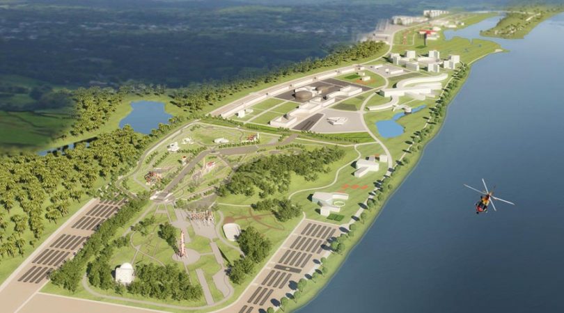
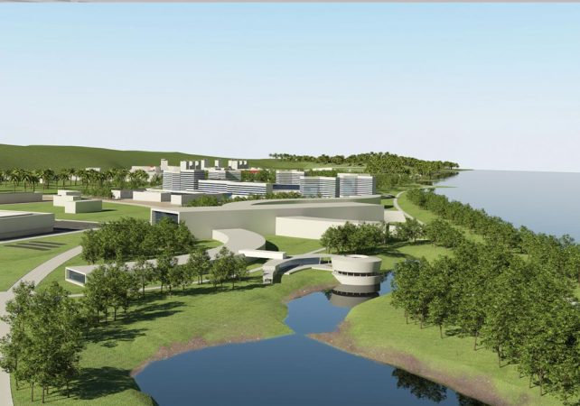
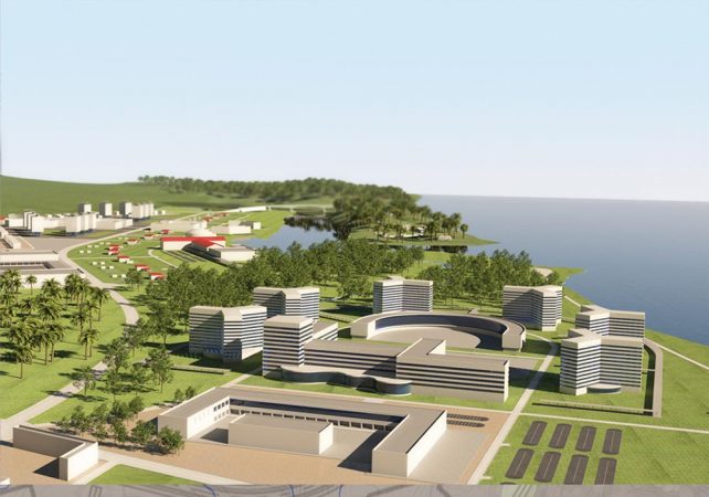
Planning and urbanization of the area of Bata that is being developed. The design foresees a community for 50.000 people in an area of 1220 hectares. The area is north of Bata, between the mouths of the Rivers Utonde and Mayang, and is destined to become a residential tourist area with housing, commercial buildings and facilities for tourist services, entertainment, etc. From a logistics point of view it is well connected, given the vicinity of Bata airport and the foreseen development of the road network with a new road that links the city centre, the airport and the area under development
SERVICES PROVIDED
- Guidelines and definition of alternative scenarios;
- Analysis of the current situation: identification of infrastructures, facilities and installations for public use, as well as the geological, hydrological, environmental and natural characteristics of the area affected by the plan and the surrounding terrain;
- The forecasted communities: the development and transformation of inhabited and commercial areas and their exploitation; study of the relative technical regulations and building code for the execution of the Design;
- The planning of public infrastructures, facilities and installations;
- Establishing the perimeters of areas of environmental and historic-artistic interest, their relative utilization and eventual special indications for their exploitation;
- Preparation of the Master Plan for the territory; Design of the road network;
- Detailed plan for the priority area;
- Programmes and execution phases.


